Week 14: Working on the special project
Week 14 covers April 20 through 26 of 2026
This is a retroactive entry. I wrote this way after the facts. Since I keep a work journal, I attempted to reconstruct the timeline.
Special project
I spent most of the week working on this,
as the deadline was on Sunday the following Sunday.
Yet another misattributed quote
“An expert is a person who has found out by his own painful experience all the mistakes that one can make in a very narrow field.” —Niels Bohr (supposedly)
Not by Niels Bohr, as per Quote Investigator.
Leafmap
I found this package called leafmap:
Leafmap is a Python package for interactive mapping and geospatial analysis with minimal coding in a Jupyter environment.
Leafmap is integrated with another package called whitebox that provides a backend for analysis of geospatial data. The GUI it brings up has all sorts of dials and knobs that let you upload ESRI Shapefiles, change the underlying map illustration, and even download data from OpenStreetMap.

A leafmap snippet I wrote in a marimo notebook to try it out.
403r from OSM
I solved the 403r error I got from OpenStreetMap whenever I use an embedded map of theirs. It had to do with the referrer.
Now that I bring it up, I just remembered that time I had an issue with a Laravel application last year. The culprit turned out to be my Firefox browser settings: it was sending the current URL as the referer. That was also the reason GitHub didn’t redirect me properly after I edited a repo’s description.
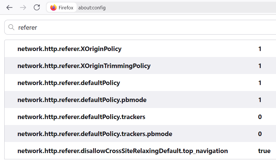
The referer settings I had in my Firefox config.
WMS
WMS, the initials of Web Map Service, is an internet protocol for downloading map tiles (Wikipedia)
I managed to fetch map tiles from the Web Map Service server provided by the city town at ServiciosImagen/Ortofoto_Medellin_2024 (ImageServer). I had to read through the WMS service definition (an XML response that specifies the API endpoints, as well as the layer names).
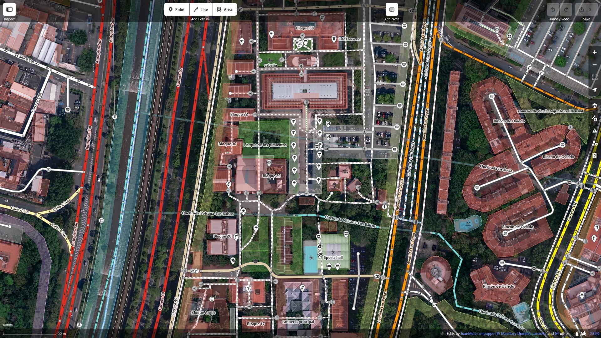
OpenStreetMap centred around EAFIT with the orthoimagery provided by the city town.